Monday, 31 May 2010
Geotag maps
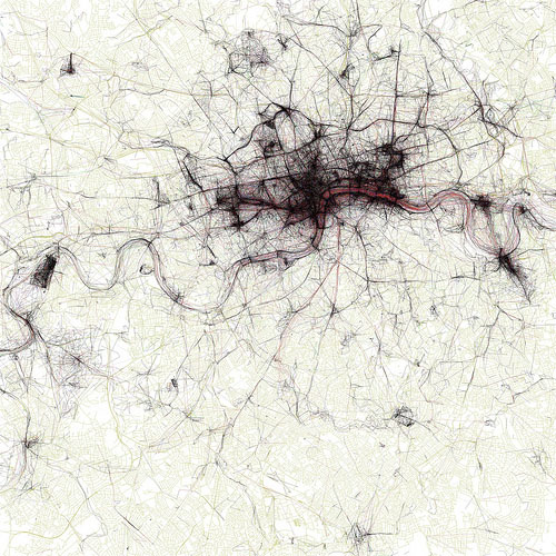
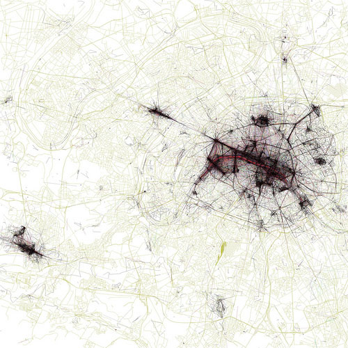
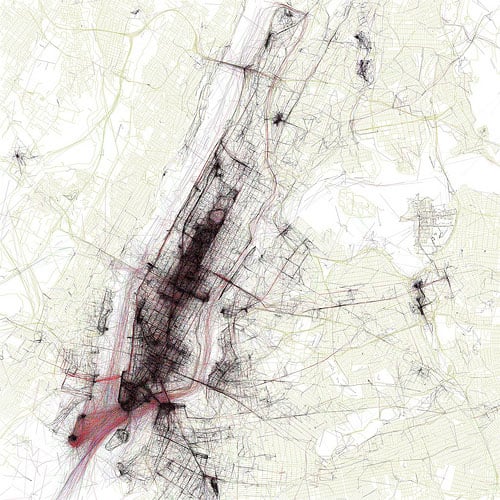
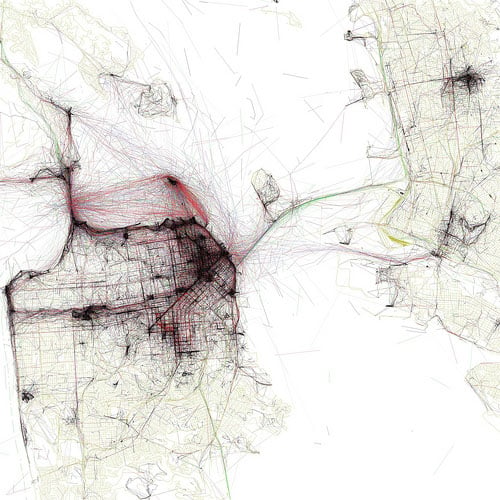
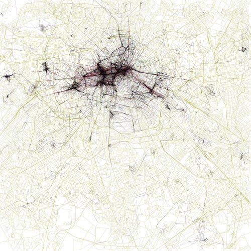
These maps are of major cities overlaid with data of where photographs have been taken & geotagged, all the black areas are where most photos are taken, real interesting.
Go check out
The Geotagger's World Atlas
on Flickr
London
Paris
New York
San Francisco
Berlin
No comments:
Post a Comment
Newer Post
Older Post
Home
Subscribe to:
Post Comments (Atom)

No comments:
Post a Comment